
In centuries past, the High Street comprised three elements, the most significant being the stream which flowed down the west side of the High Street with dilapidated banks propped up with wicker work with overhanging willow trees. The stream emerged from Spout Lane (now Spring Lane) and ran in a northerly direction along the High Street until it met another flowing in the opposite direction from Yardley Road at the northern end of the town. They met at a point called the High Arch (believed to be sited somewhere between Millward’s Entry and the Two Brewers Inn), broadly half way along the street, where they joined and flowed eastwards down across the meadow to the river.
The second element was the raised wide pitched causeway that ran down the centre of the High Street, where pedestrians could walk dry-shod when the stream was in flood. The causeway extended from where No. 6 High Street now stands to the Queen Hotel (a distance a little over one kilometre). It was kept in repair by the Causeway Charity. The causeway was removed in 1790.
The third element was the track for wheeled traffic sited on the east side of the High Street.
Together these three elements resulted in the wide high street as seen today.

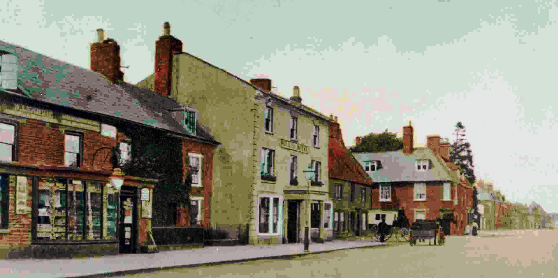
The High Street was lined with stone-built and thatched cottages, with here and there a well built house. It was not until the 16th Century that houses were built in Olney facing the street. Previously the front doors were in Courts or Alleys, as in the 20th Century we recall Berrills, Fields, Floods, Swains, Cobbs, Morgans and Yorks Courts.
Olney was fortunate in that houses could be built from materials found locally; with limestone quarries near to hand, the forests on their doorsteps for oak for the beams and ash for the laths, with straw (reeds) available too for when they began to thatch.
Incidentally, the High Arch was the end of the town’s traditional whipping run which started at the Town Pump (sited close to Costa’s café) on the Market Place. This drastic punishment at the cart tail was administered by the Town Beadle and probably quite effective. No doubt it was enjoyed by the watching townsfolk and an awful warning to youngsters witnessing the scene!
The street must have looked very picturesque with the stream running down it, but one wonders just how salubrious it was, as there was no waste collection in those days and the temptation must have been quite strong to use the stream as a dumping ground. Incidentally, Mr Garrard, a solicitor, was the last person to hold the duck shooting rights for the High Street.
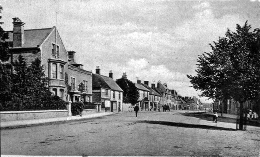
Now fast forward to the present; when you have an opportunity let your eyes run along the roof-line all the way along the High Street (on either side). The fact that no two houses are at precisely the same height is most noticeable and this certainly adds to the considerable charm of the town. Also, no major houses are exactly alike, and what could be described as almost a mansion stands ‘cheek by jowl’ with a small cottage.
Suggested links to the Olney High Street – Heritage Trail using a smartphone with an optional audio commentary or an earlier Olney High Street Trail without an audio commentary. These trails includes the history of several selected properties in the High Street.
Also links to Youtube video versions of the Audio Heritage Trails: